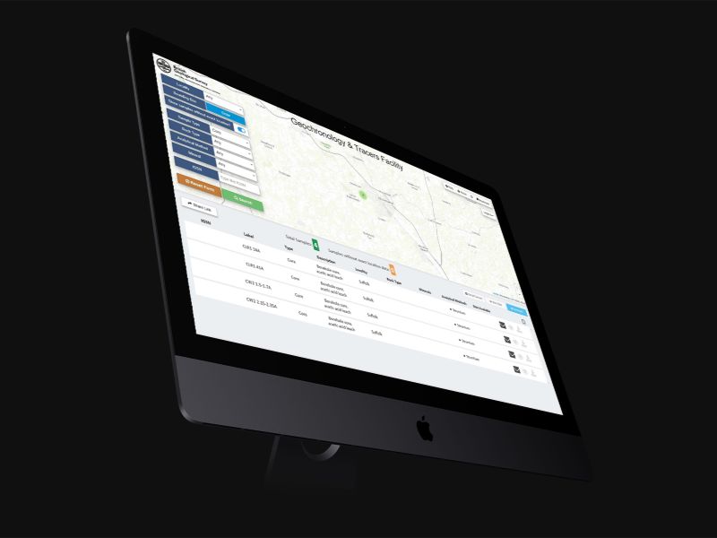
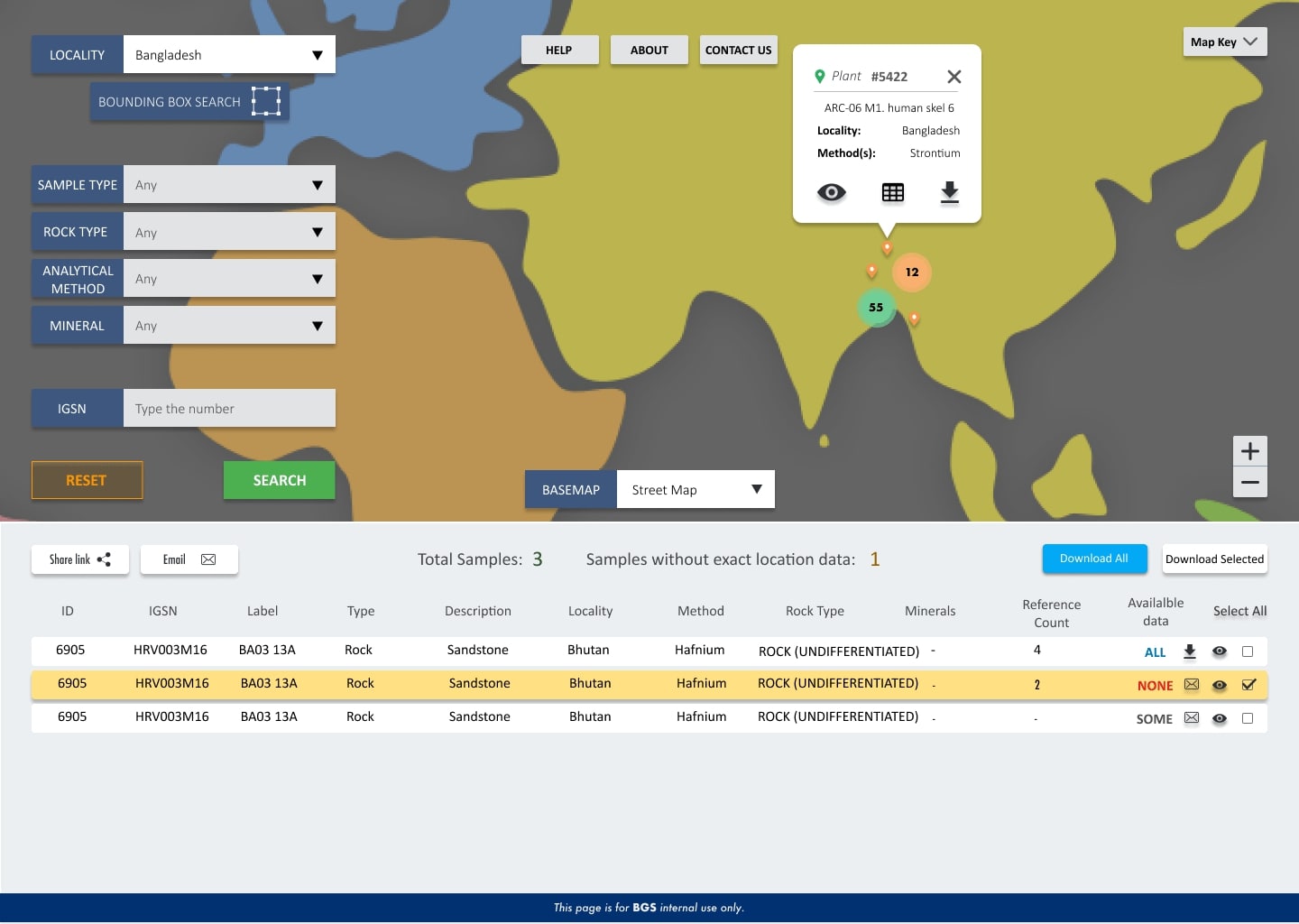
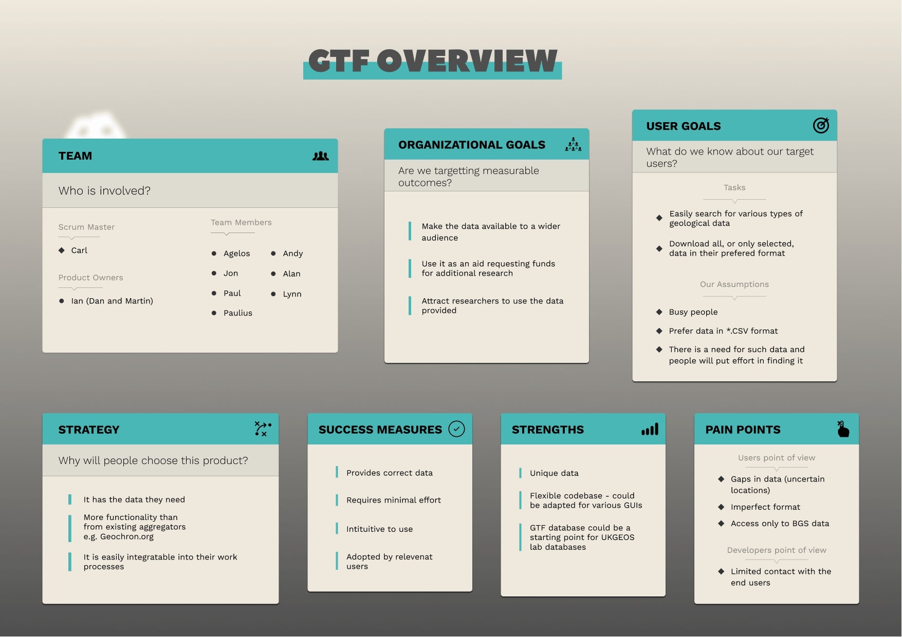
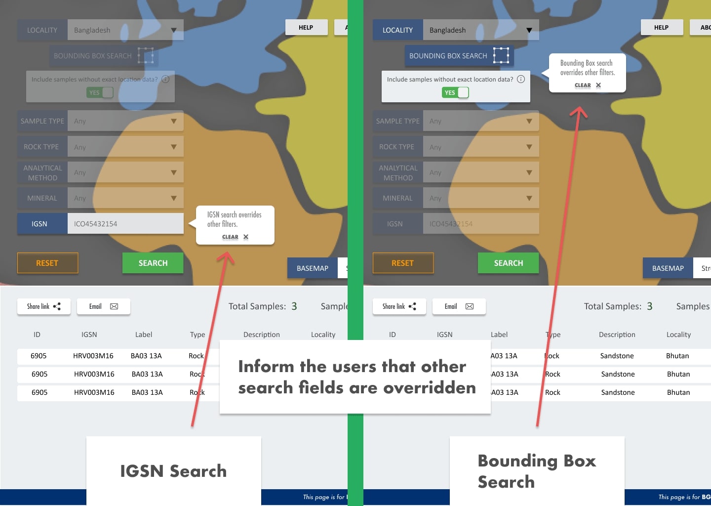
The Geochronology and Tracers Facility (GTF) app empowers users to explore, preview, visualize data on a map, and download information from the laboratory. Although the GTF app already existed, it required a complete overhaul as it was outdated. While we had a clear understanding of the desired principles, we undertook the challenge of recreating the app from scratch. By engaging with the project team and product owners, I gained valuable insights into organizational goals, user goals, success measures, and pain points. To avoid repeating usability issues found in similar tools, I conducted a comprehensive review of existing data access applications. Utilizing wireframes, I visualized the app's flow and obtained early feedback from product owners, enabling us to refine the design before development commenced. Throughout the development phase, we maintained close collaboration with the product owners, involving them in our sprints and user testing sessions to ensure alignment and validate our progress. By conducting user testing, we successfully identified usability issues and fine-tuned the app's details. The culmination of these efforts resulted in a polished and user-friendly final product.


Created a visual workflow representation that clearly communicates the complex Spatial Data Delivery Service (SDDS) process.
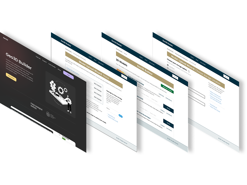
This case study demonstrates how user-centered design, rapid prototyping, and modern development tools can transform complex environmental data into accessible, actionable insights for diverse user groups.
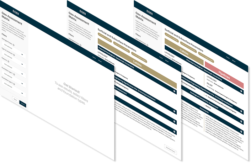
The offshore wind industry needed a simplified, accessible tool to compare geological features for foundation siting decisions. Existing geological assessment data was locked in complex Excel spreadsheets, making it difficult for wind farm developers to quickly evaluate and compare site conditions across different geological environments.
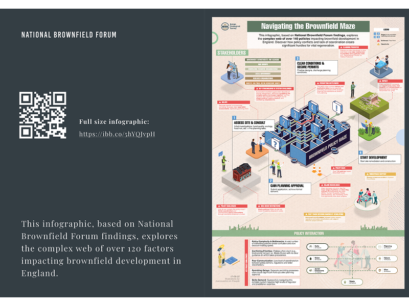
Transforming dense policy research into engaging, actionable insights for government stakeholders and industry professionals