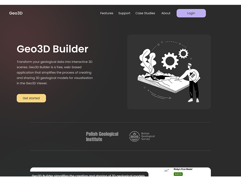
Geo3D Builder: Democratising 3D Geological Model Creation
Geo3D Builder: Democratising 3D Geological Model Creation
 PROJECT LINKPROJECT LINK
The Polish Geological Institute had developed a powerful 3D geological model viewer, but only two users worldwide could create models for it. The process required manually editing complex JSON files—taking several hours per model and demanding specialized technical knowledge. This bottleneck meant valuable geological data for resource management and hazard assessment remained inaccessible to the broader scientific community.
I led UX research and design for Geo3D Builder, collaborating with Polish Geological Institute and BGS teams. I conducted user research, designed the wizard interface using Figma and GOV.UK Design System, and led usability testing throughout development.
Through interviews with geological professionals, I identified three primary user groups:
Geomodellers and Reservoir Engineers had geological expertise but lacked web development skills needed for JSON configuration and server setup.
Researchers and Students needed accessible visualisation tools for research and presentations without budget for specialized software or hosting.
Government Agencies and Consultants required shareable geological visualizations for non-expert stakeholders without software installation barriers.
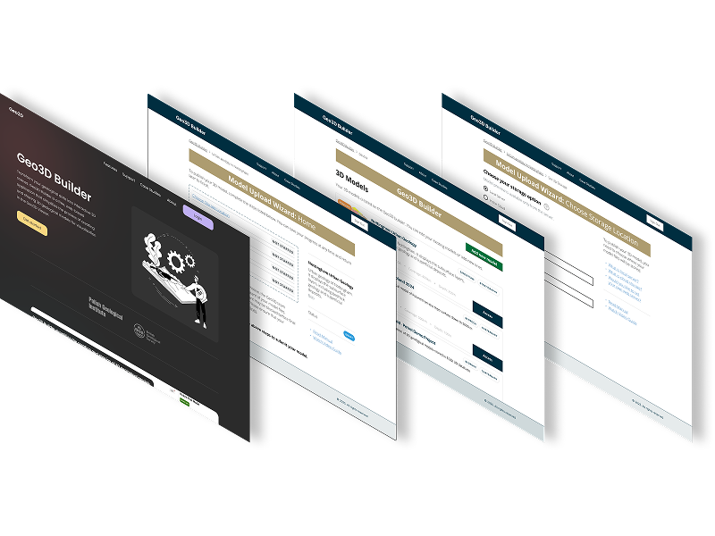
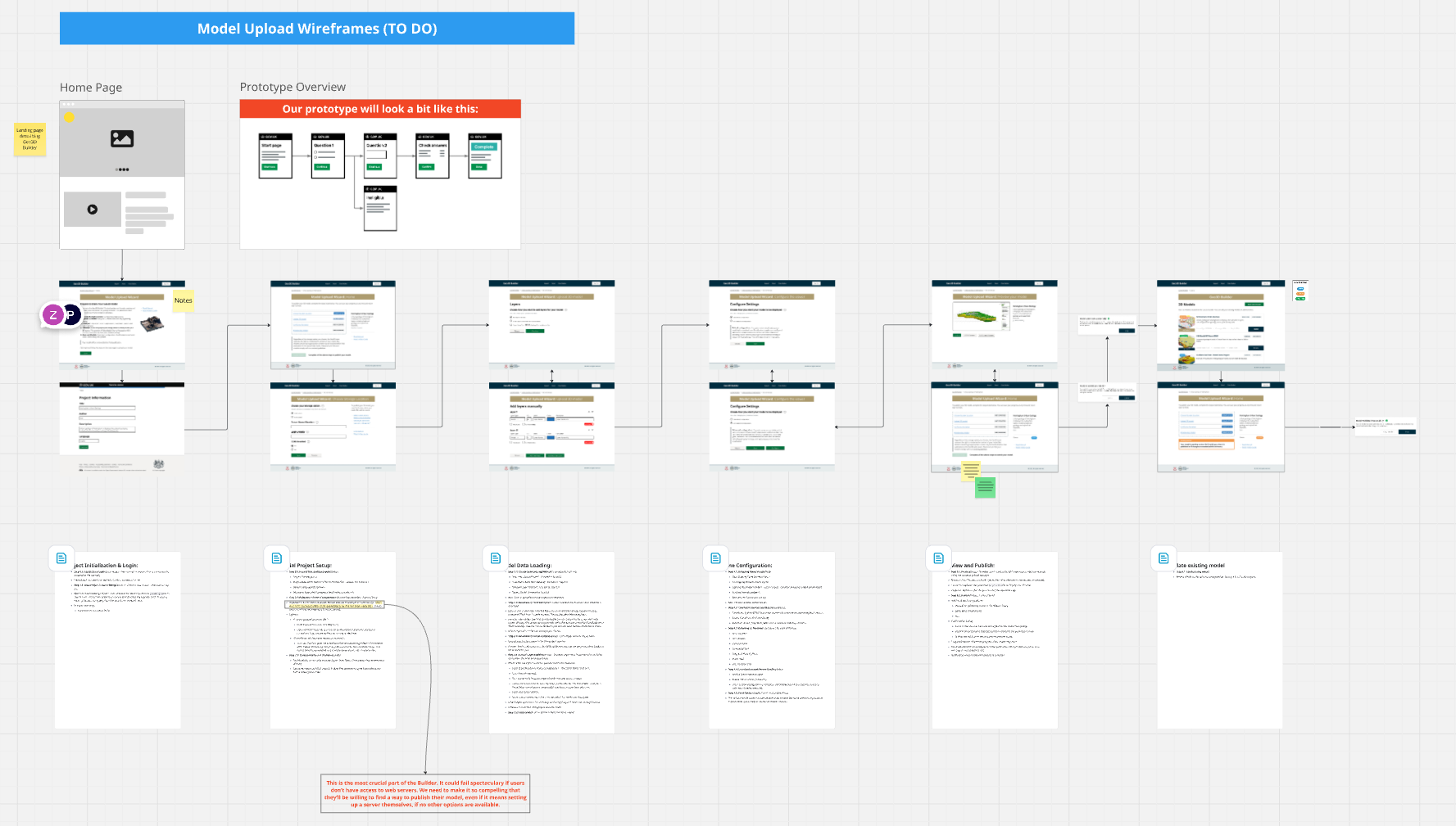
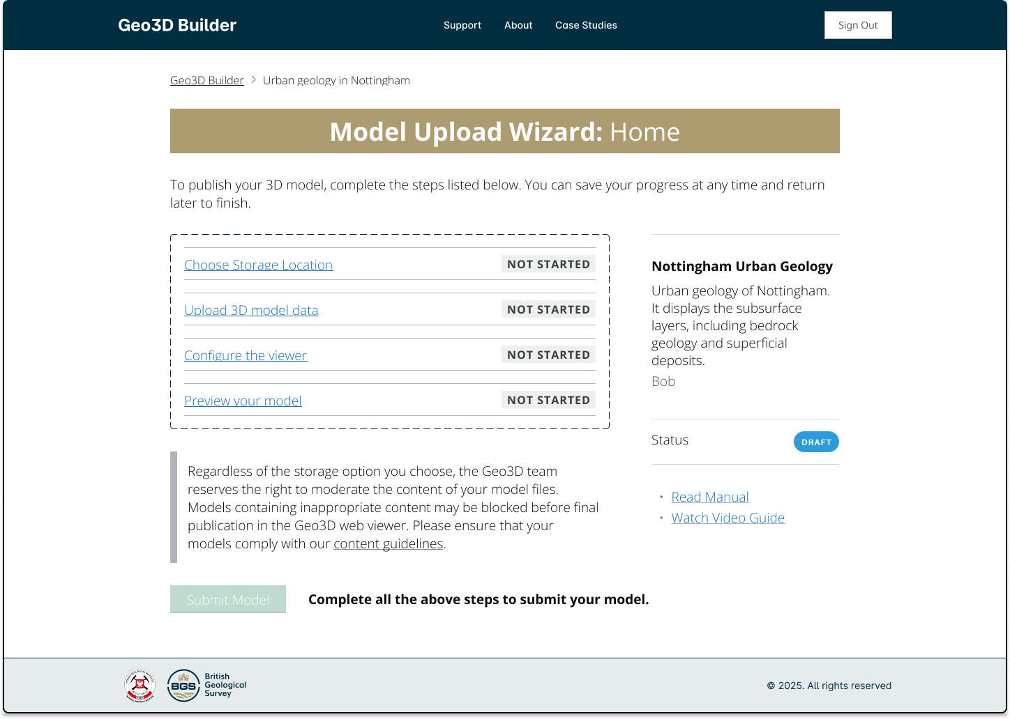
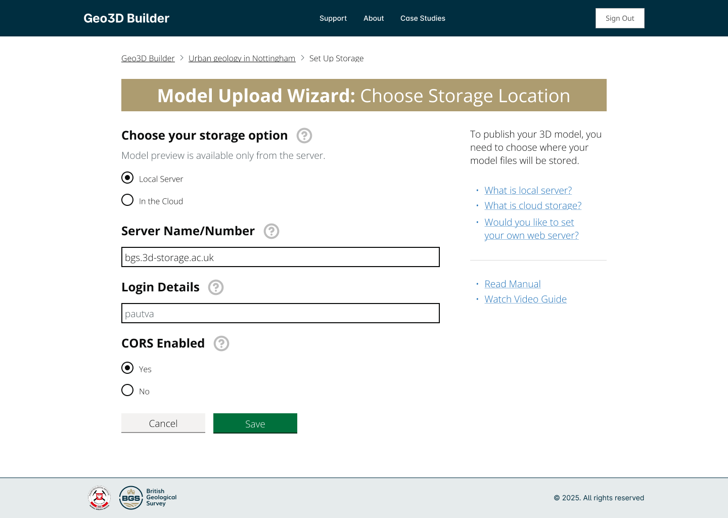
I designed a step-by-step wizard that guides users through the complex process without exposing technical details. Key principles included progressive disclosure of information, smart defaults for technical parameters, multiple data entry paths for different workflows, and clear guidance for hosting 3d models.
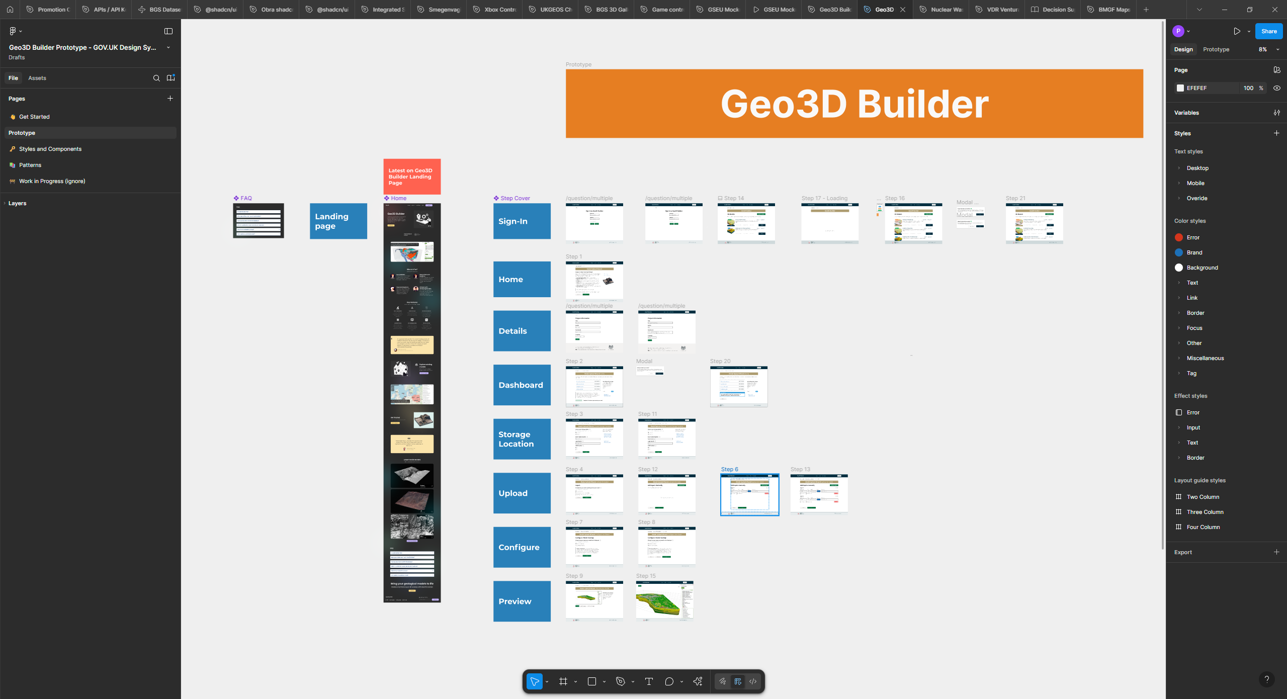
Using Figma and GOV.UK Design System, I created prototypes that went through multiple iterations, getting feedback in the process and making incremental improvements. I also captured key requirements as user stories.
Wizard-First Architecture provides linear guidance, reducing cognitive load compared to dashboard approaches.
Contextual Help provides explanations at each step, particularly for technical concepts like coordinate systems.
Smart defaults for 3d viewwer configuration to save users time and allow them not to worry about every single details of the model viewer.
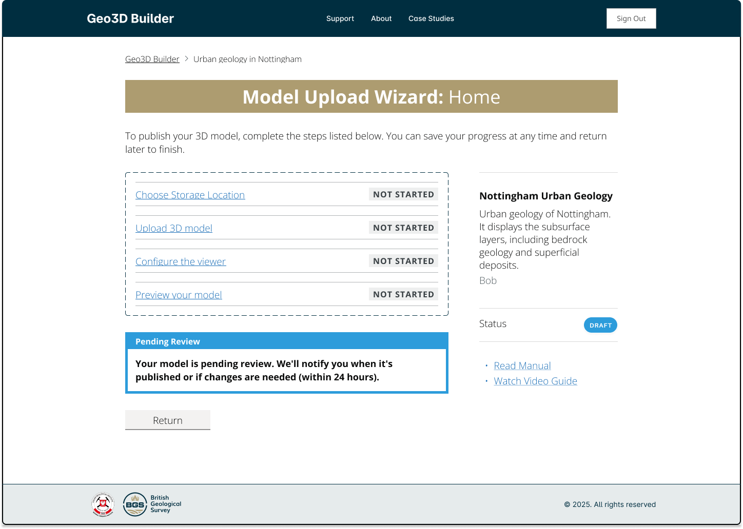
Geo3D Builder transforms a multi-hour technical process into a guided workflow:
Users will overcome technical hurdles like server setup if they can first see the value of what they'll create. The GOV.UK Design System proved invaluable for building trustworthy, accessible interfaces that users immediately understood, even for complex technical workflows.
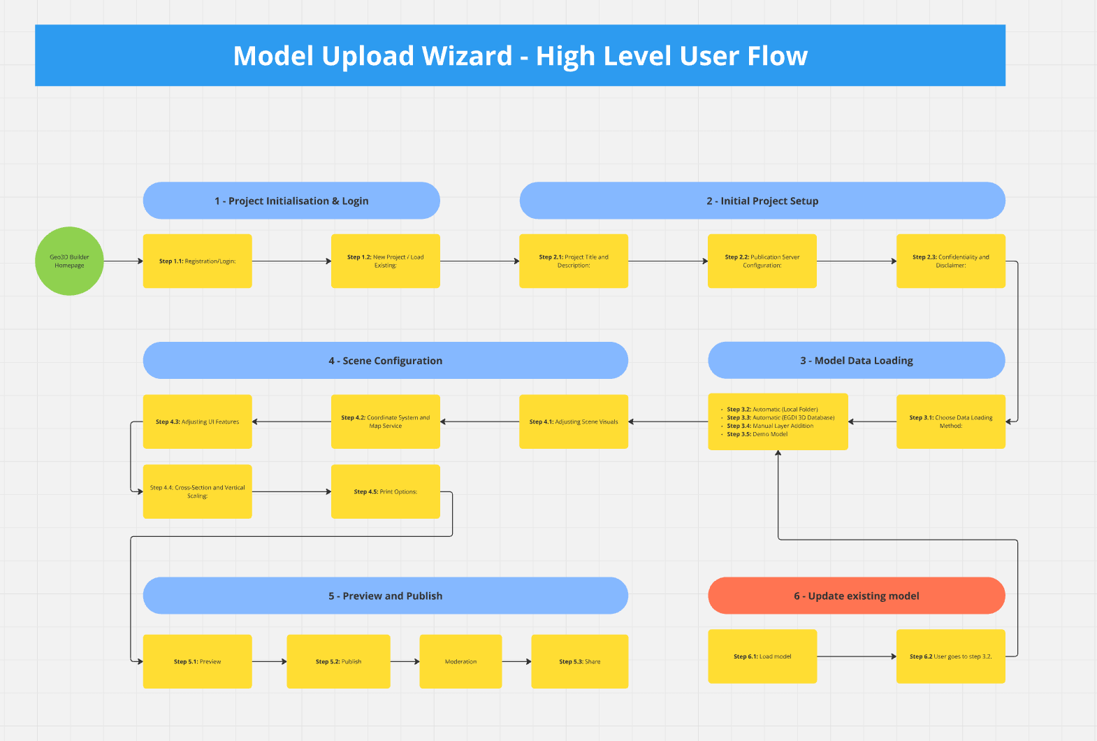

Created a visual workflow representation that clearly communicates the complex Spatial Data Delivery Service (SDDS) process.
This case study demonstrates how user-centered design, rapid prototyping, and modern development tools can transform complex environmental data into accessible, actionable insights for diverse user groups.
The offshore wind industry needed a simplified, accessible tool to compare geological features for foundation siting decisions. Existing geological assessment data was locked in complex Excel spreadsheets, making it difficult for wind farm developers to quickly evaluate and compare site conditions across different geological environments.
Transforming dense policy research into engaging, actionable insights for government stakeholders and industry professionals
