Enhancing Land Use Decision-Making: Designing an Interactive Prototype Decision Support Tool
Enhancing Land Use Decision-Making: Designing an Interactive Prototype Decision Support Tool
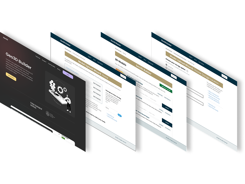
 PROJECT LINKPROJECT LINK
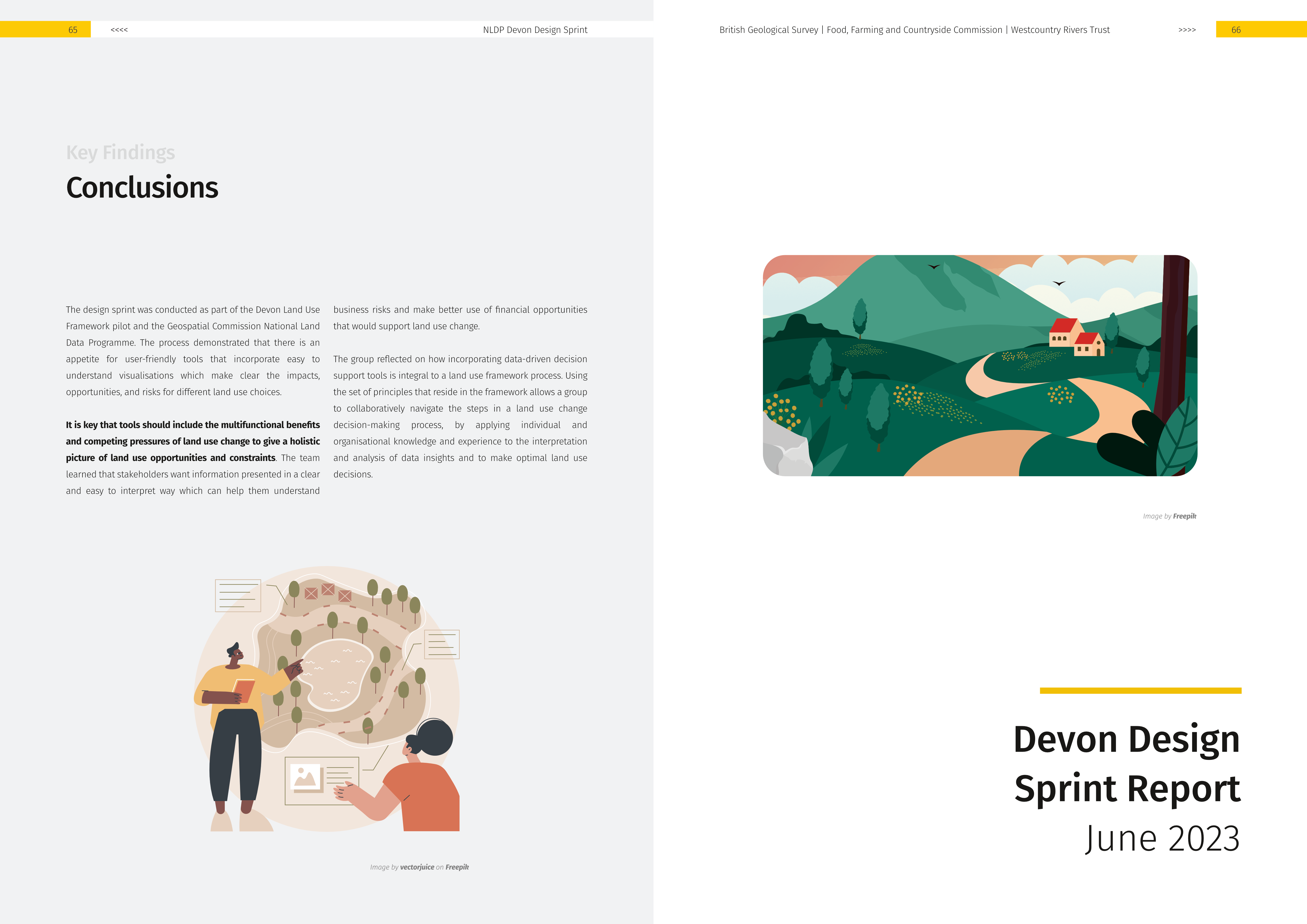
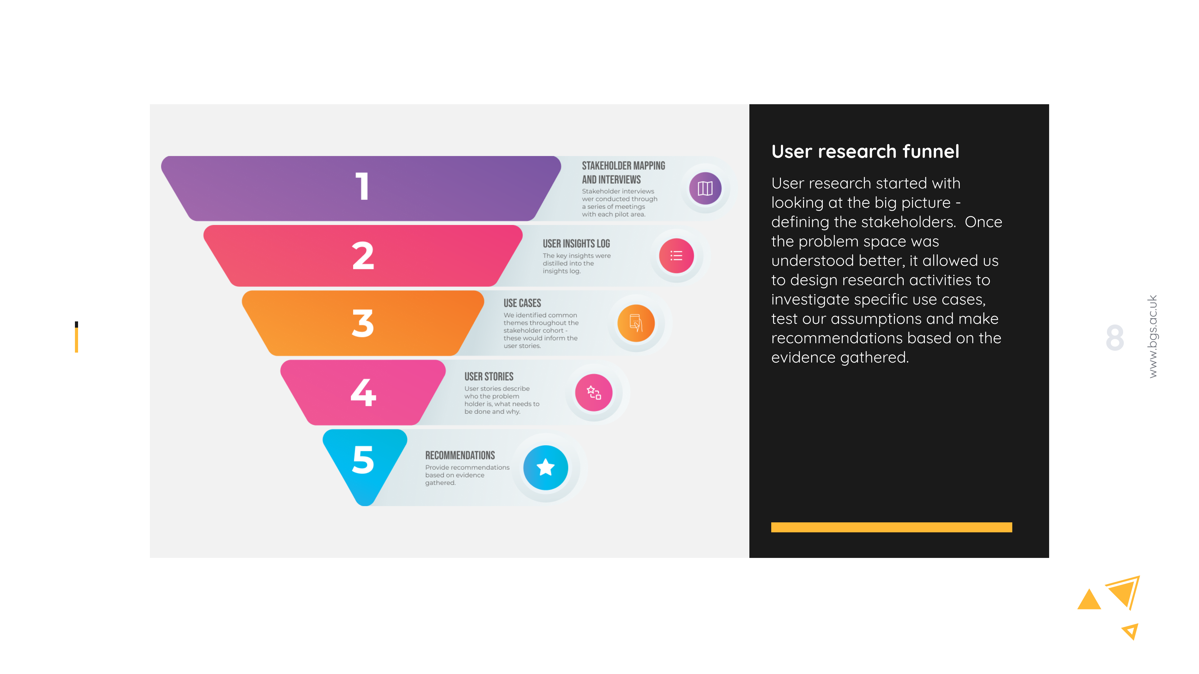
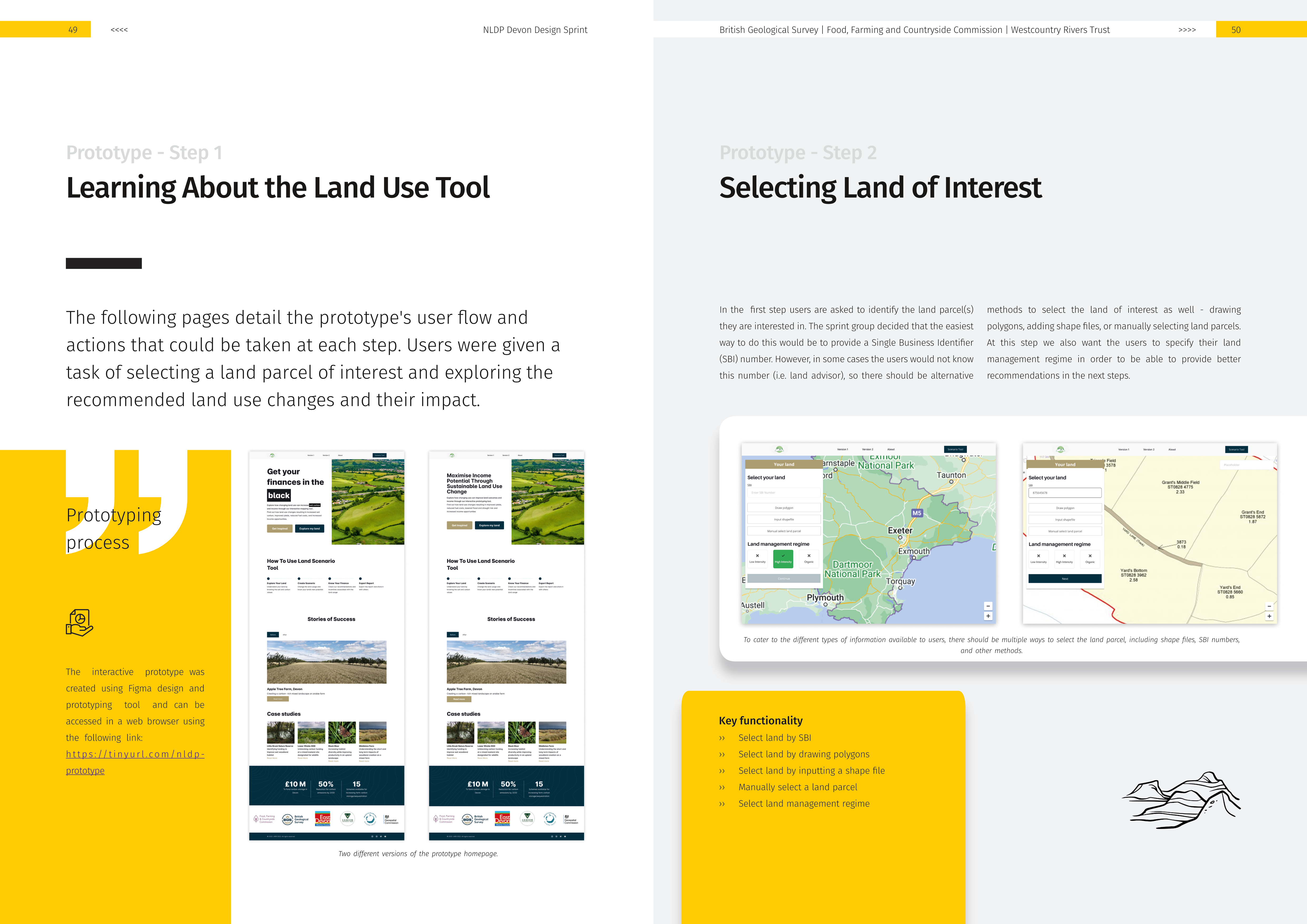
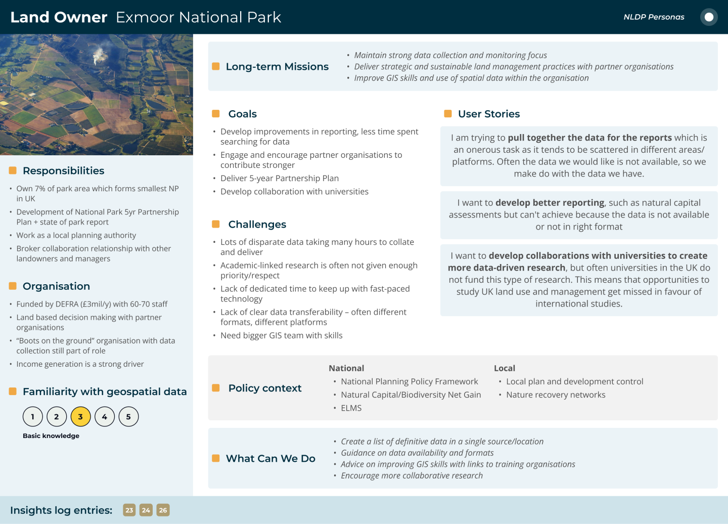
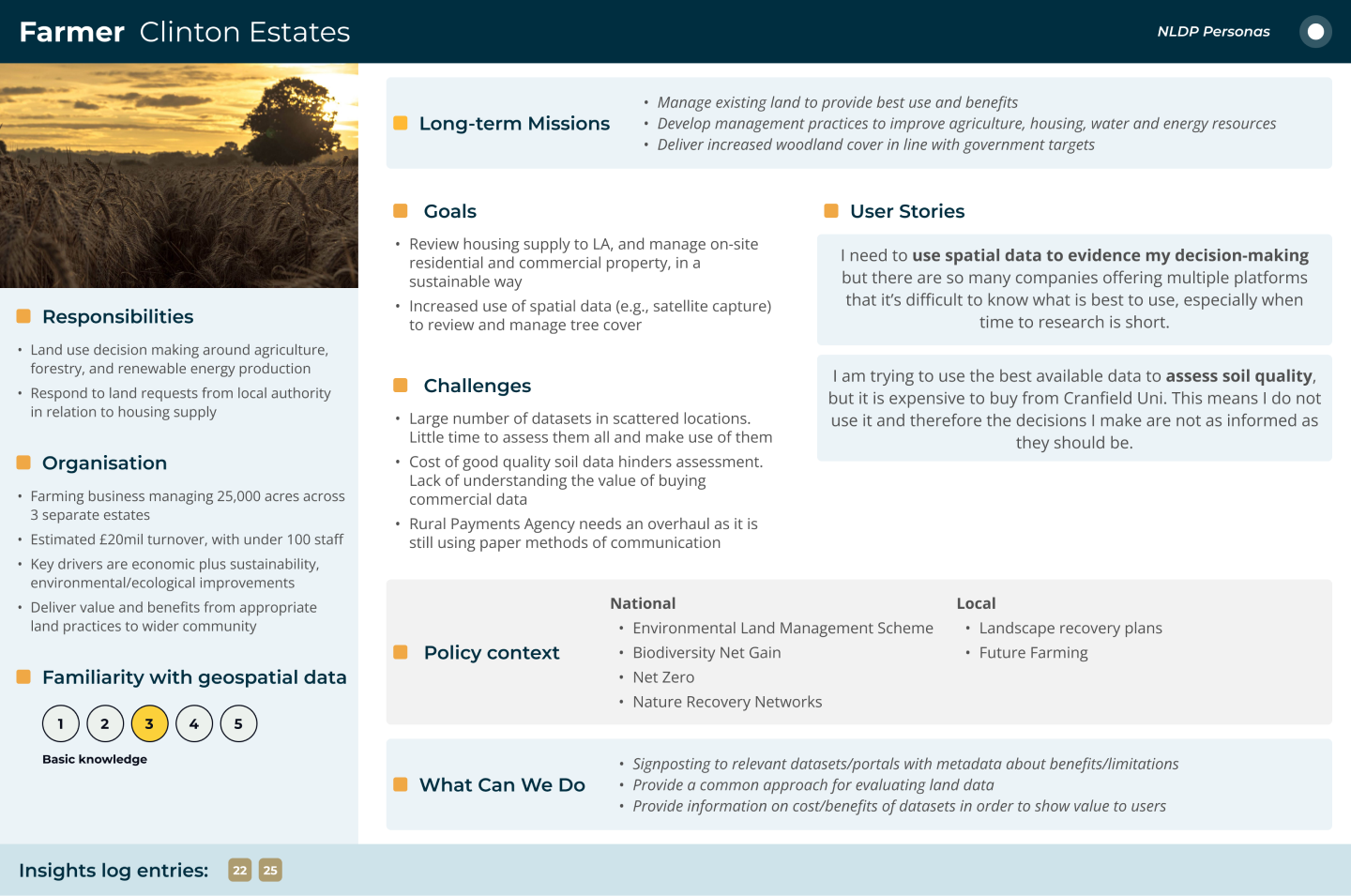
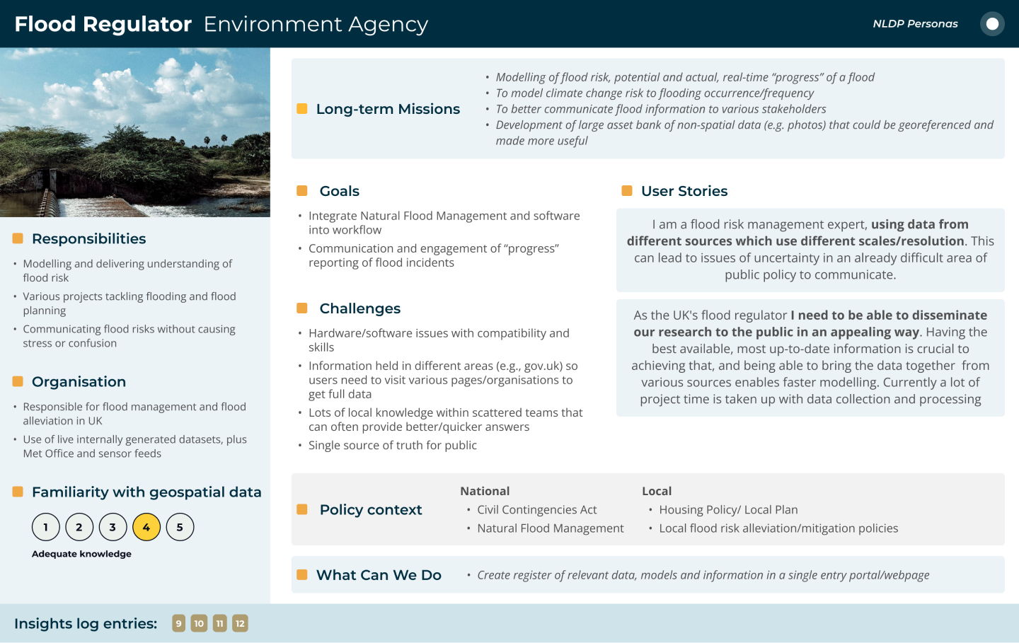
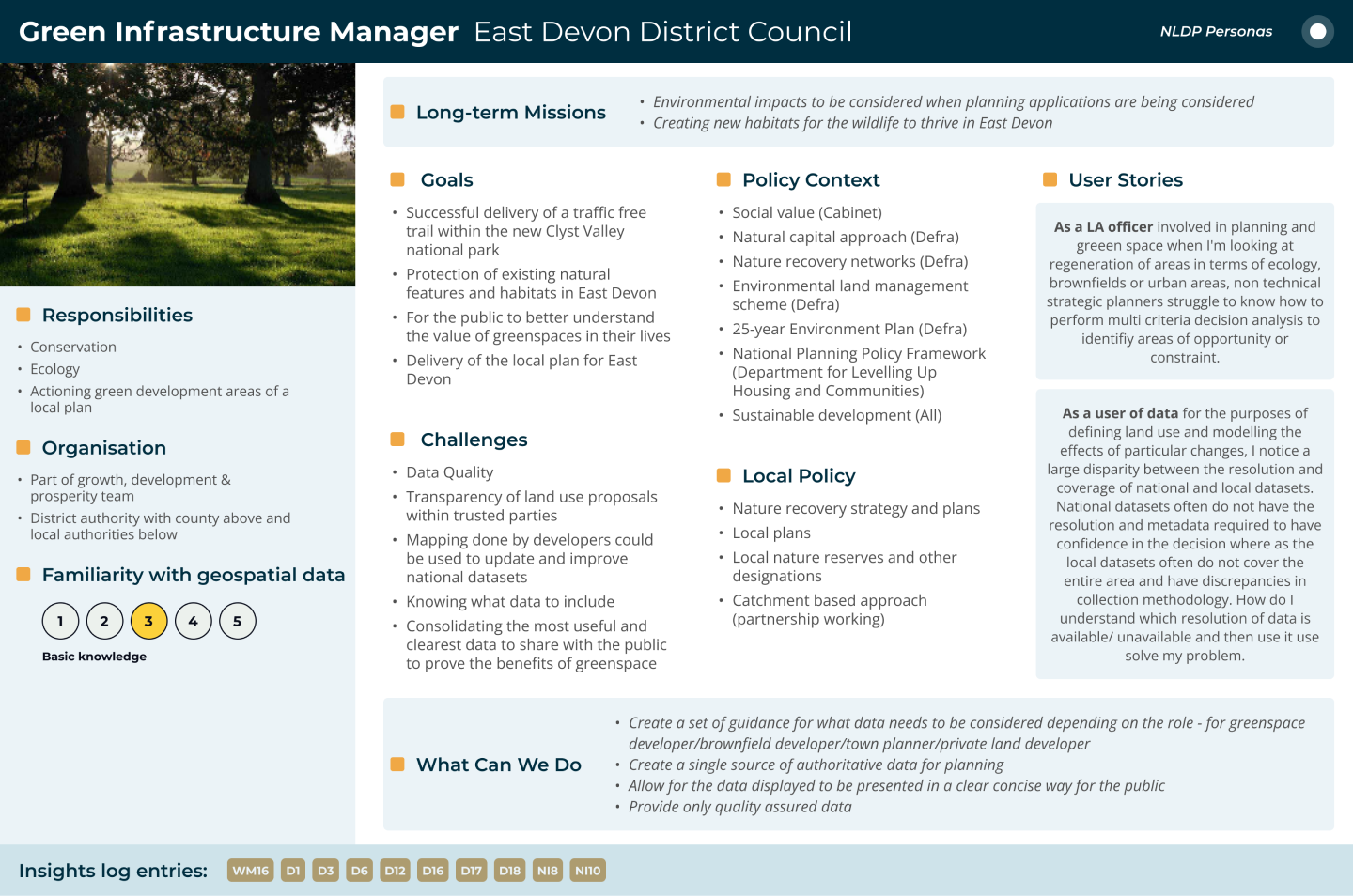
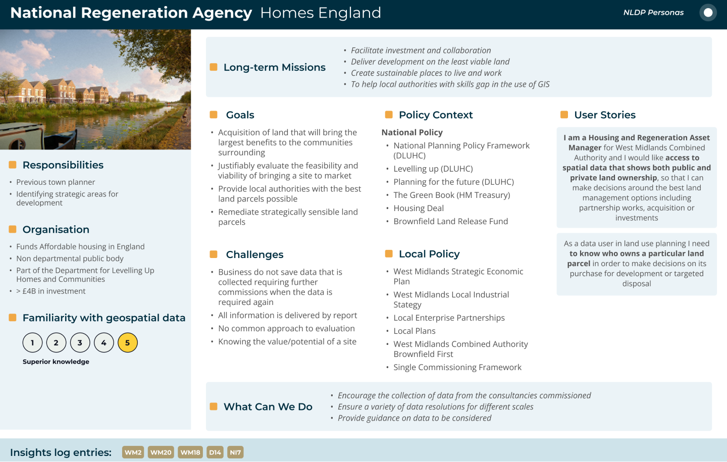
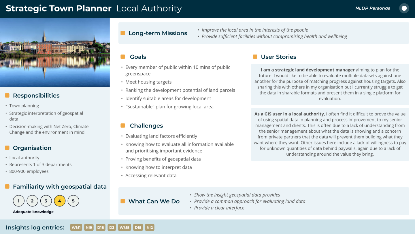
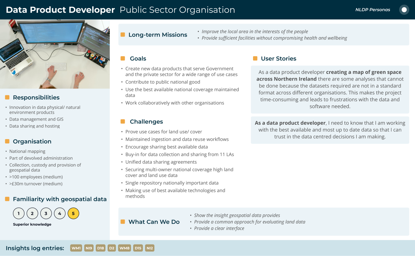
In this project, I played a crucial role in facilitating the design sprint, leading the team in identifying pinch points in the land use decision-making process, and collaboratively designing a prototype decision support tool that addressed these challenges. I then took charge of creating an interactive prototype based on the sprint outputs and planned the user testing to assess its usability and effectiveness. Additionally, I assumed the responsibility of being the lead author of the report on land use, incorporating the findings from user testing and highlighting the importance of spatially explicit data and decision support tools in informing discussions and promoting shared outcomes in land use decision making.
You can read the full report here: https://nora.nerc.ac.uk/id/eprint/535109/

Created a visual workflow representation that clearly communicates the complex Spatial Data Delivery Service (SDDS) process.
This case study demonstrates how user-centered design, rapid prototyping, and modern development tools can transform complex environmental data into accessible, actionable insights for diverse user groups.
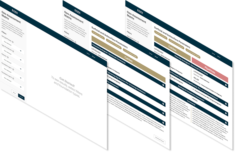
The offshore wind industry needed a simplified, accessible tool to compare geological features for foundation siting decisions. Existing geological assessment data was locked in complex Excel spreadsheets, making it difficult for wind farm developers to quickly evaluate and compare site conditions across different geological environments.
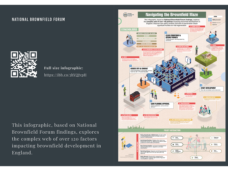
Transforming dense policy research into engaging, actionable insights for government stakeholders and industry professionals